QLSC: Quadrilateralized Spherical Cube for Python
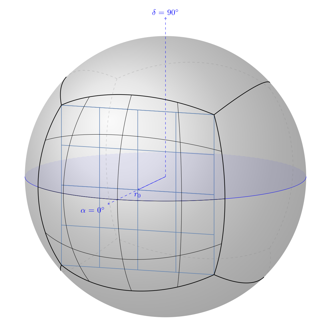
The quadrilateralized spherical cube (QLSC) is a geospatial indexing scheme for segmenting a sphere into pixels with the aim of optimized spatial indexing and queries. qlsc is an implemenation of this scheme in a Python package. Parts of it are based on code from Sergey Koposov’s Q3C, a PostgreSQL extension that implements QLSC indexing.
Note that while this package is designed for astronomical use (it focusses on right ascension and declination), it could be just as easily be used for latitude and longitude coordinates, as long as you’re ok with a perfectly spherical Earth (though QLSC was designed to be used with the real Earth). Future updates may better facilitate this, but contributions are welcome.
Please refer to this project’s GitHub page for a description of the QLSC scheme and how to use the code.